This auction has been won.
View other items offered by Biennies1360
Leading
Doedak81
1 ×
R150.00
28 Sep 12:57
Similar products
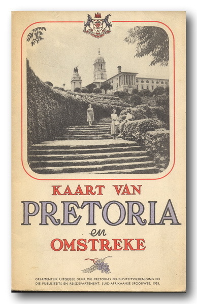
Kaart van Pretoria en omstreke (1955)
1 was
available
/ secondhand
Indicative market price: R150
Shipping
Standard courier shipping from R30
R30 Standard shipping using one of our trusted couriers applies to most areas in South Africa. Some areas may attract a R30 surcharge. This will be calculated at checkout if applicable.
Check my rate
Check my rate
Free collection from
Riviera, Pretoria
The seller allows collection for this item and will be in contact with the full collection address once the order is ready.
Ready for collection by Tuesday, 28 May.
Ready to ship in
The seller has indicated that they will usually have this item
ready to ship within 12 business days. Shipping time depends on your delivery address. The most
accurate delivery time will be calculated at checkout, but in
general, the following shipping times apply:
Standard Delivery
| Main centres: | 1-3 business days |
| Regional areas: | 3-4 business days |
| Remote areas: | 3-5 business days |
Buyer Protection
How you're covered
Product information
Condition:
Secondhand
Location:
South Africa
Area:
Urban
Time Period:
Post-1950
Type:
Physical Map
Customer ratings:
Product code:
00904
Bob Shop ID:
244801804
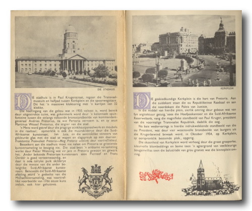
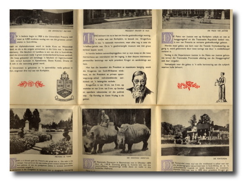
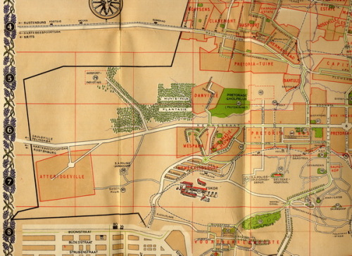
Kaart van Pretoria en omstreke (1955). Grootte: 624x505mm. Agterkant van kaart het beskrywings van besienswaardighede op. Vou op tot A6.