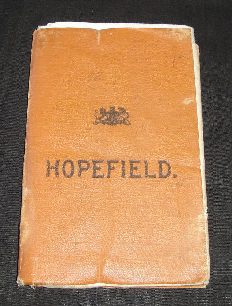
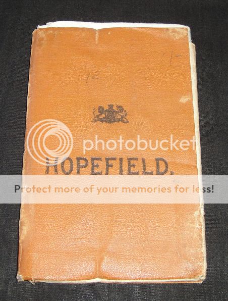
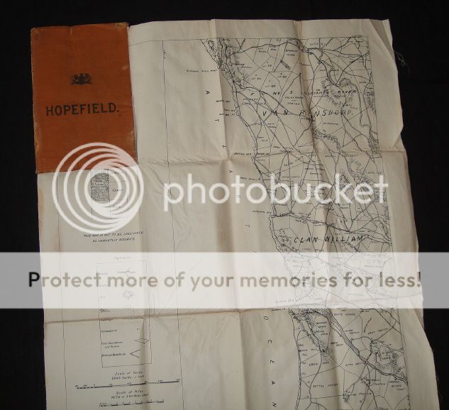
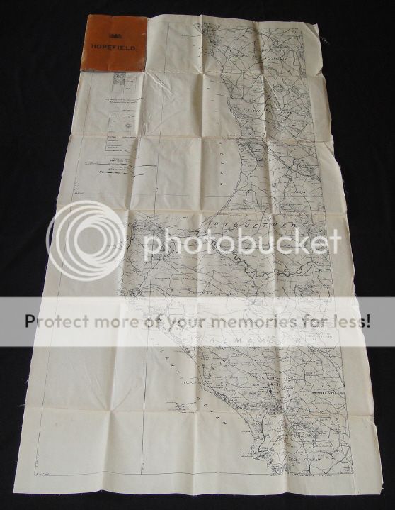
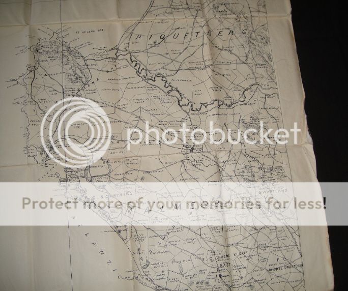
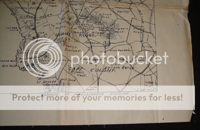
Anglo Boer War: Original Map of Hopefield used by General Smuts during his Cape Colony infiltration
Check my rate
| Main centres: | 1-3 business days |
| Regional areas: | 3-4 business days |
| Remote areas: | 3-5 business days |
Product information
Anglo Boer War: Original Map of Hopefield used by General Smuts during his Cape Colony infiltration
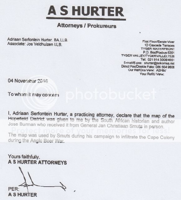
General Smuts gave this map as a present to the well-known South African Author and Historian Jose Burman (now deceased) in person during the 1940s - see letter below.
It is interesting to note that General Smuts actually grew up in this area as a boy as his father had a farm near Riebeeck West in the “Swartland” – currently in the northern (west-coast) part of the Western Cape. The map is a fold-out booklet and is made from durable woven paper; so it is still in fine condition. It was originally drawn up by British Intelligence so was probably taken from a British Officer by the Boers.
See pictures below
I offer a 100% 7-day money back guarantee